

radio-use functions
The official import form asks about remote control, data/video transmission, localisation and other interfaces.
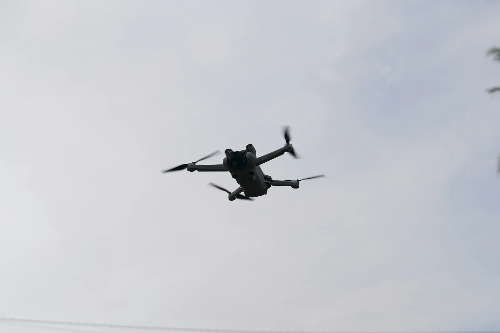
A drone shot is not just a camera movement. In Morocco it can involve import control, radio-equipment conformity, filming permissions, location coordination, aviation safety, weather and a written fallback.
Direct answer
The official import form asks about remote control, data/video transmission, localisation and other interfaces.
Prepare product specifications plus conformity evidence in French or English for the radio interfaces.
A practical SQUADPROD allowance for ordinary commercial files; it is not a guaranteed approval time.
The first mistake is treating ‘drone permission’ as one document. A production may need to resolve several separate questions: can the aircraft enter Morocco, are its radio interfaces documented, is the filming itself authorised, does the owner or public authority approve the location, and can the operation be performed safely at the planned date and coordinates? A positive answer to one question does not automatically answer the others.
The official Moroccan drone import form requests the identity of the company or individual, the aircraft model, final destination and details of its radio interfaces. It also asks for technical documentation in French or English, including frequency and power information, plus a certificate or declaration of conformity where relevant. That means ‘we will bring a small consumer drone in hand luggage’ is not a production plan.
Aerial value should be defined before the permit file. A hotel may need one establishing shot, one arrival route and one relationship between property and coast. A property developer may need access, masterplan context, construction scale and neighbourhood. Listing six shot purposes is more defensible than requesting an undefined day of flying, and it helps identify which views can be replaced by a crane, elevated terrace, long lens or licensed archive if flight becomes impossible.
Moroccan geography creates operational differences. Coastal wind around Agadir or Essaouira, urban density in Casablanca, formal or sensitive areas in Rabat, airport proximity, crowds, private compounds, desert dust and mountain weather all change feasibility. The production should set objective go/no-go triggers and protect the wider campaign with ground alternatives rather than letting one aircraft become the single point of failure.
Decision framework
Write the commercial purpose of every aerial shot, its direction, duration, time of day and acceptable substitute.
Confirm who owns/imports the aircraft, exact model and serial, final destination, frequencies, power and conformity evidence.
Map exact coordinates, owner consent, public-space impact, sensitive neighbours and the filming-permit route.
Document pilot responsibility, weather limits, launch/landing zone, public control, emergency actions and visual-line constraints.
Pre-approve elevated, stabilised, long-lens or archive alternatives so the campaign still delivers if flight is denied or unsafe.
Identify aircraft, operator, import status, exact coordinates, site owner, nearby airports/sensitive zones, dates and shot purpose.
Collect corporate identity, model/serial, technical sheets, frequency and power details, conformity documents, synopsis and location maps.
Use the current authority process rather than relying on an old permit, fixer anecdote or verbal assurance.
Verify launch and recovery, compass/GNSS conditions, public movement, sun, wind channel, communication and ground alternatives.
Reconfirm written status, weather, batteries, firmware, storage, local contacts, emergency plan and shot priority.
Carry the approved file, operate only within the authorised plan, log flights and stop when conditions exceed the agreed limit.
Decision table
| Area | What to define | Production consequence |
|---|---|---|
| Import | Owner/importer, model, serial, destination | Prevents airport or customs assumptions. |
| Radio interfaces | Frequency, power, function, conformity | The aircraft can use several transmitters, not one generic ‘Wi-Fi’ line. |
| Filming/location | Synopsis, coordinates, owner and public impact | Connects the visual request to the actual site. |
| Flight operation | Pilot, zone, altitude/limits, public and emergency plan | Turns a creative request into a controlled operation. |
| Weather | Wind/gust threshold, visibility, rain, heat and dust | Defines a decision before commercial pressure appears. |
| Fallback | Ground alternative for every priority aerial | Protects the deliverables and launch date. |
Illustrative planning model
Planning model for an Agadir-area development. It is not an approval promise or completed client case.
| 1. Establishing | Property, coastline and city relationship | Wide orbit or elevated ground panorama if flight is unavailable. |
|---|---|---|
| 2. Access | Arrival road and entrance sequence | Vehicle tracking from ground plus high terrace view. |
| 3. Scale | Building mass and landscaped zones | Long-lens compression from approved elevated point. |
| 4. Amenities | Pool, roof and circulation | Gimbal walkthrough and fixed high-angle shots. |
| 5. Orientation | Sunset direction and sea-facing units | Golden-hour terrace sequence with graphical map. |
| 6. Social hooks | 3–5 second reveal movements | Fast ground reveals designed vertically. |
The campaign remains publishable even if only 3 of 6 aerial purposes are authorised or weather-safe. The highest-value views are prioritised and substitutes are known before crew call.
Risks
Small size does not remove import or radio questions. Resolve them before travel.
A city name is insufficient. Authorities and operators need exact launch, route and surrounding context.
Set wind and visibility limits in advance, with a reserve window or ground plan.
A location agreement may allow filming but not aerial operation, paid advertising, long-term use or visible neighbouring property.
Related planning
Sources were checked on 2 August 2026. Platform specifications and administrative processes can change, so confirm the current version before a live campaign, import or permit application.
FAQ